
Rooted Forward & Chicago Maritime Museum
Now on viewAn Illustrated Map of Chicago
Charles Turzak and Henry T. Chapman, 1931
Rooted Forward and the Chicago Maritime Museum created this exhibit to explore the history behind a 1931 illustrated map of Chicago.
Published as Chicago prepared for its second world’s fair, the map presents a lively city of beaches, ballparks, and skyscrapers. But its jokes and drawings also include racial caricatures and references to housing restrictions that excluded Black families from certain neighborhoods. Our interactive guide explains these details and the discrimination and segregation they reflect.
Visit the museum in Bridgeport to see the map and explore it on the touchscreen beside it, or open the interactive map here on your phone.
Built for a desktop screen. On a phone, open it in the Rooted Forward app.
See it in person
On the wall at the Chicago Maritime Museum
1200 West 35th Street, Chicago, river level of the Bridgeport Art Center, entered on the north side of the building from Racine Avenue.
Tuesday to Sunday, 10 am to 4 pm. Closed Monday.
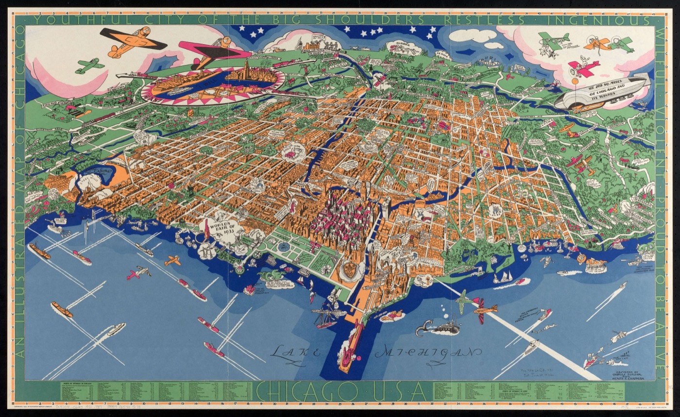
An Illustrated Map of Chicago, 1931. Charles Turzak and Henry T. Chapman. Houghton Mifflin, Boston. Norman B. Leventhal Map and Education Center, Boston Public Library.
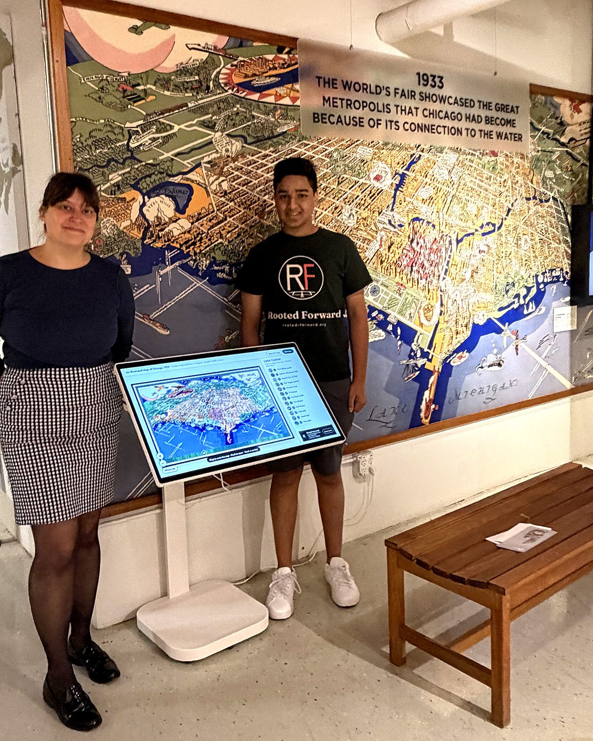
The map and its touch screen on the museum's wall in Bridgeport, September 2026. Photograph by Rooted Forward.